The Manigotagan is a fun and challenging whitewater canoe route only a few hours north of Winnipeg, Manitoba’s capital and population centre. Its watershed drains an area of approximately 217 square kilometers or 22,000 hectares, most of which is located in Manitoba (the river originates in Woodland Caribou Park in North-Western Ontario), and discharges into Lake Winnipeg from the East. The most frequently paddled route is the 134 kilometres between Highway #314 and the community of Manigotagan at the mouth of Lake Winnipeg. This novice to intermediate canoe route takes between 5 and 7 days, although there are access points further downstream should you wish to shorten your trip (for more information regarding access points, see below). There are 32 beautiful waterfalls and rapids which range from Class I to Class IV depending on the water level. The longest portage is close to 450 metres, while the shortest is less than 20 metres long. Note that some rapids do not have a portage trail and must be run.
Story Map (Click on the arrows to scroll through and “Learn More” for more information)
Interactive Map (Click on icons to see more information, and click on the double arrow to turn on/off layers)
Note: The campsites were taken from the original database in 2008 and may have been moved since. We are in contact with Manitoba Parks to verify if any campsite locations have moved.

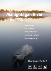
Paper copies of the Manigotagan River Canoe Map are also available!
$10 – pickup at Manitoba Eco-Network office
$12 – mailed via Canada Post
We accept cheque or e-transfer. Email info@mbeconetwork.org or call us at (204) 947-6511 for more details.

